Oblique Photography

Photogrammetry

Current Projects

45+ Years of Aerial Mapping for the Great People of Maine and Beyond.

Aerial Survey & Photo, Inc. has provided high quality mapping services to a wide range of private, professional, government, and industrial clients since 1975. Located at 546 Airport Road adjacent to the Central Maine Regional Airport, our facility & crew provide start to finish aerial photography, survey, and mapping services for the great people of Maine and beyond.

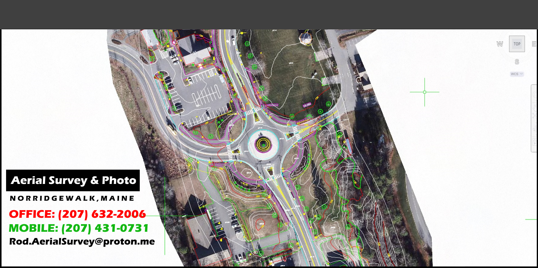
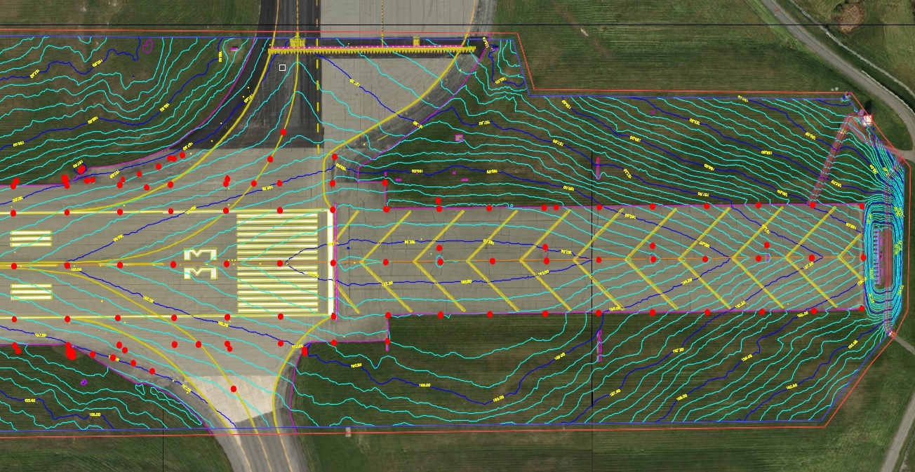
Aerial Survey & Photo, Inc. also have extensive knowledge in all phases of photogrammetry, including Professional services in photographic reproductions, Control surveys, Topographic and planimetric mapping, Orthophotography, Digital data collection, G.I.S., Volume determinations, and Consulting services


The Road to Success is Paved with Good Leadership


F. Roderick Stevens, Owner and President of Aerial Survey and Photo, Inc has worked for over 49 years now with the great people of Maine and beyond to ensure that their needs are met in the most professional and efficient manner possible. It is those attributes, among others that have propelled Roderick and his business forward in the almost 50 years spent in the aerial surveying and aerial photo business.


CALL AERIAL SURVEY AND PHOTO:


OFFICE PHONE: 207-634-2006
MOBILE PHONE: 207-431-0731


Click Here to Learn More About Aerial Survey and Photo

Recent Clients & Mapping Projects


  • 2024 CAI _ Tech - Wales, MA, Town of
  • 2024 CAI – Tech – Vinalhaven, ME, Town of
  • 2024 Town of Cromwell, CT
  • 2024 Revision Energy – Deblois Solar Farm
  • 2023 Woodard & Curran – Fort Kent & Bridgton, ME
  • 2023 Bath, City of - Landfill
  • 2023 Woodard & Curran – Presque Isle & Tri Community Landfills
  • 2023 Sevee & Maher – Juniper Ridge Landfill
  • 2022 & 2024 Unitil Pipeline, 86 miles of pipeline - Massachusetts to Maine
  • 2023 CAI – Tech - New Boston, NH, Town of
  • 2023 Harpswell, ME, Town of
  • 2023 Hoyle, Tanner & Assoc. – Jackman ME airport
  • 2023 Tata & Howard - Edgecomb, ME, for Wiscasset Water District
  • 2023 CAI – Tech - Sandwich, NH, Town of
  • 2023 Pike Industries - Manchester, NH Regional Airport
  • 2023 Waste management, Inc. – Crossroads Landfill
  • 2022 Lewiston, ME - City wide Orthos of 1951, 1971, 1975 & 1994 Imagery
  • 2021 Tata & Howard - Franklin, NH mapping for Engineering Dept.
  • 2021 Wright–Pierce – Rangeley, ME orthos
  • 2021 Haley Ward - Bangor International Airport
  • 2021 Waters Construction – Killingly, CT Airport
  • 2021 Casella Waste – Southbridge, MA Landfill
  • 2021 Horizons Engineering – Thornton, NH
  • 2021 Plisga & Day Land Surveyors – Woodland Mill
  • 2021 Wright–Pierce - Winslow
  • 2020 CAI – Tech - Durham, NH, Town of
  • 2020 HNTB – Maine Turnpike Authority


  • Aerial Photography

    Topographic Mapping

    Municipal Mapping

    Photogrammetry

    Tax Mapping

    New Technology